
Mining Bucket Wheel Stacker-reclaimer Long-distance Positioning System
Long-distance positioning is critical for mining bucket wheel stacker-reclaimers operating in large, dusty stockyards. Traditional limit switches and manual observation cannot provide continuous, high-accuracy location data. A modern long-distance positioning system combines GNSS/RTK, inertial measurement units, laser ranging, and encoder fusion to deliver reliable coordinates. GNSS/RTK provides absolute position for the machine’s travel and slewing axes, while inertial sensors compensate for vibration and temporary signal loss. Laser and encoder data refine bucket-wheel height, boom angle, and rail position. Edge computing fuses these inputs and sends stable coordinates to the control room through industrial wireless or fiber networks. Operators can view real-time position, travel path, and stacking or reclaiming zones on a digital yard map. The system supports automatic stacking, anti-collision protection, and precise pile boundary control. In dusty or shielded areas, redundant sensors maintain continuity and reduce downtime. Rugged enclosures and regular calibration ensure long-term performance in harsh mining environments. By improving positioning accuracy, the system increases operational safety, reduces material spillage, and enables unmanned or semi-automated stockyard management. Accurate positioning also helps optimize machine scheduling and reduce energy consumption. It is a practical foundation for smart mining and efficient bulk material handling.
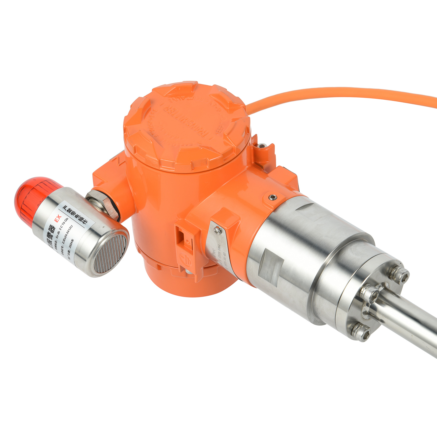
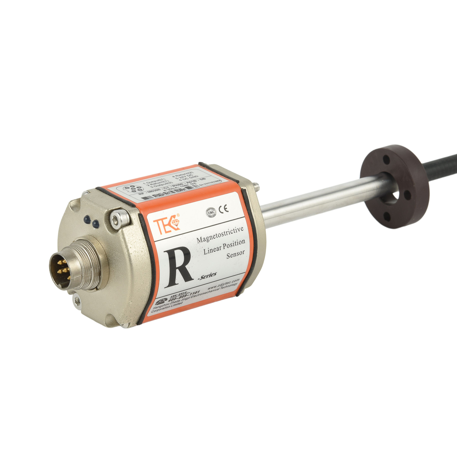 Crane and Trolley Positioning
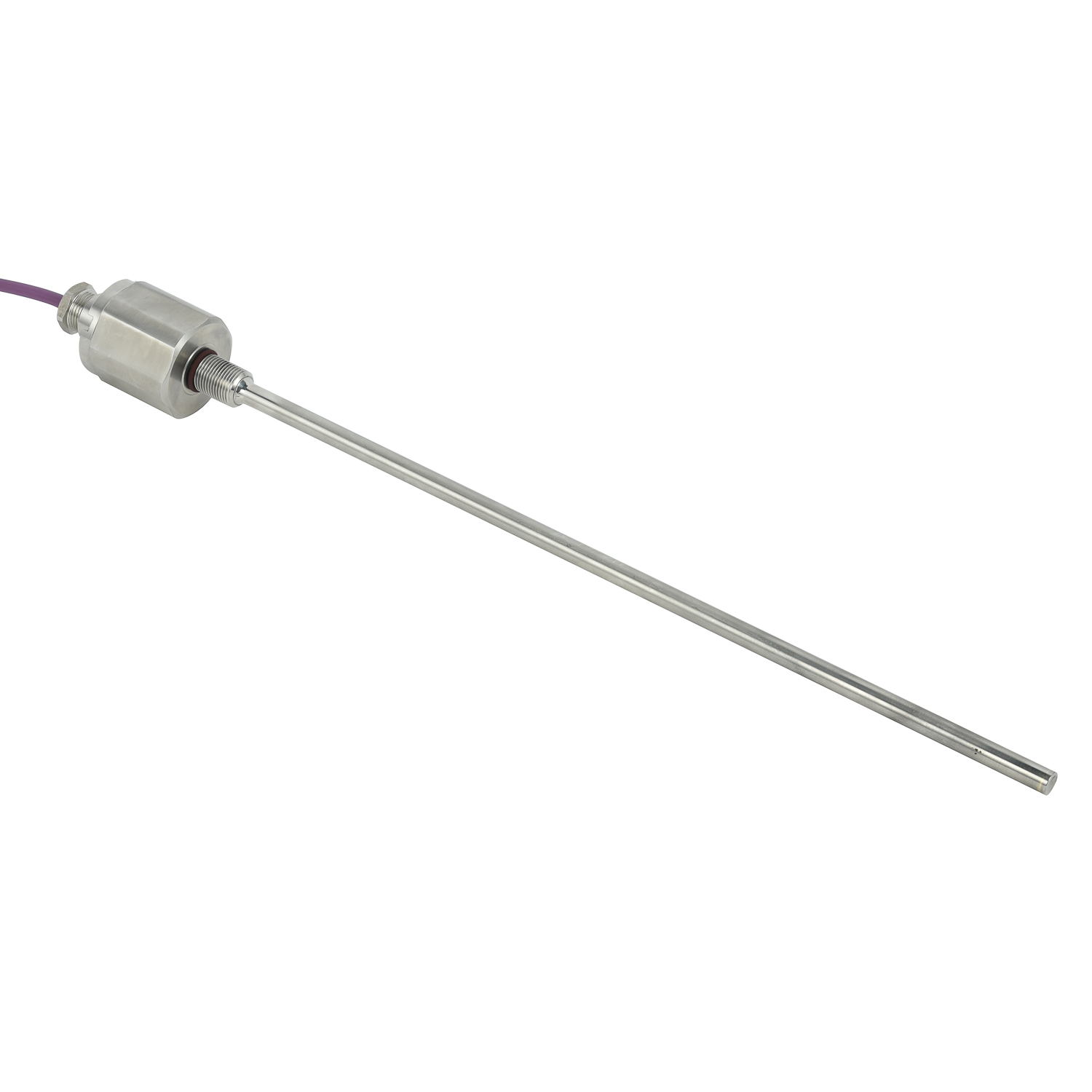 Crane and Trolley Positioning
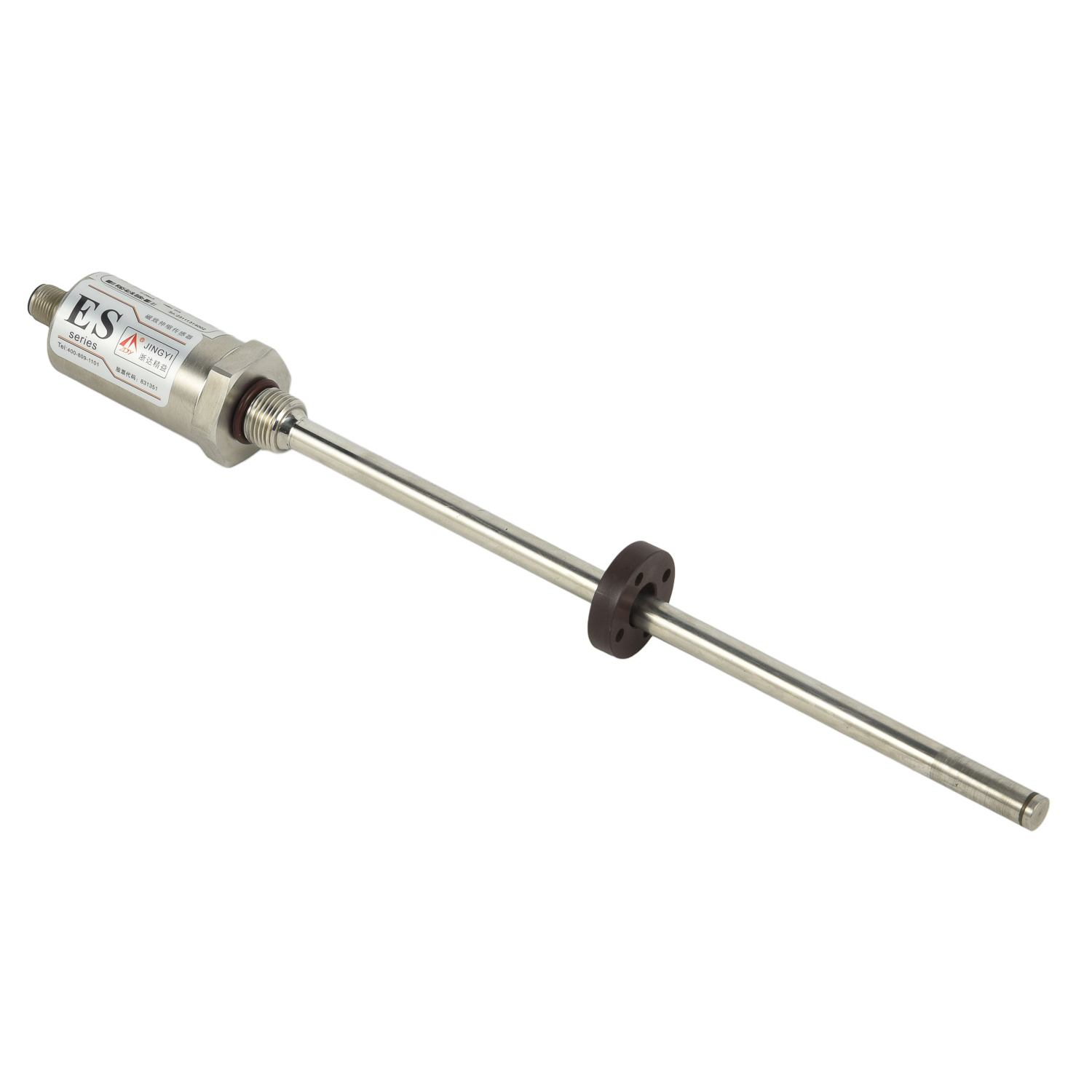 Crane and Trolley Positioning
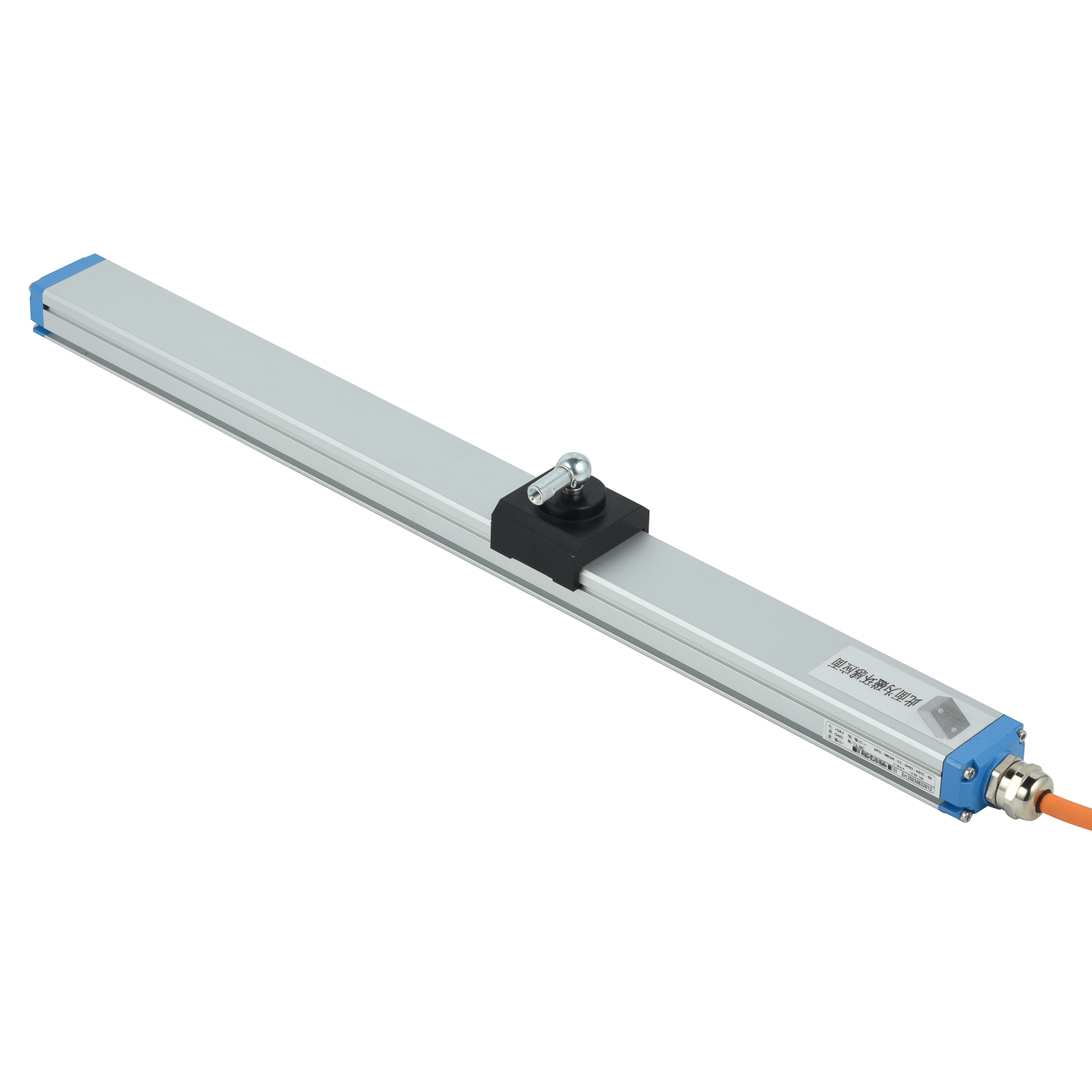 Crane and Trolley Positioning