
Mining High-temperature Long-distance Positioning System
Deep mines present extreme heat, dust, humidity, and long tunnels that weaken conventional tracking signals. A mining high-temperature long-distance positioning system combines rugged UWB anchors, fiber-optic sensing, inertial navigation, and low-frequency wireless backhaul to locate workers and equipment in real time. Temperature-resistant enclosures, heat-shielded cables, and adaptive power control keep nodes stable near stopes and conveyors. Long-distance positioning uses fiber-optic timing distribution and signal repeaters to extend coverage for kilometers while limiting latency. The system fuses ranging data with inertial measurements, creating reliable coordinates when line of sight is blocked. A digital map shows personnel, vehicles, and hazard zones, and automated alerts support evacuation and collision avoidance. Edge computing filters vibration and heat noise, while a central platform manages calibration, firmware, and battery health. Regular testing, redundant routing, and explosion-proof design ensure safety in challenging underground conditions. This integrated approach improves rescue response, asset utilization, and operational planning in high-temperature mines. The platform logs temperature trends, signal quality, and route history, enabling predictive maintenance and audits. Designed for explosive atmospheres, the system follows mine safety standards and supports two-way emergency messaging for control rooms. Its modular design scales to multi-level mine networks.
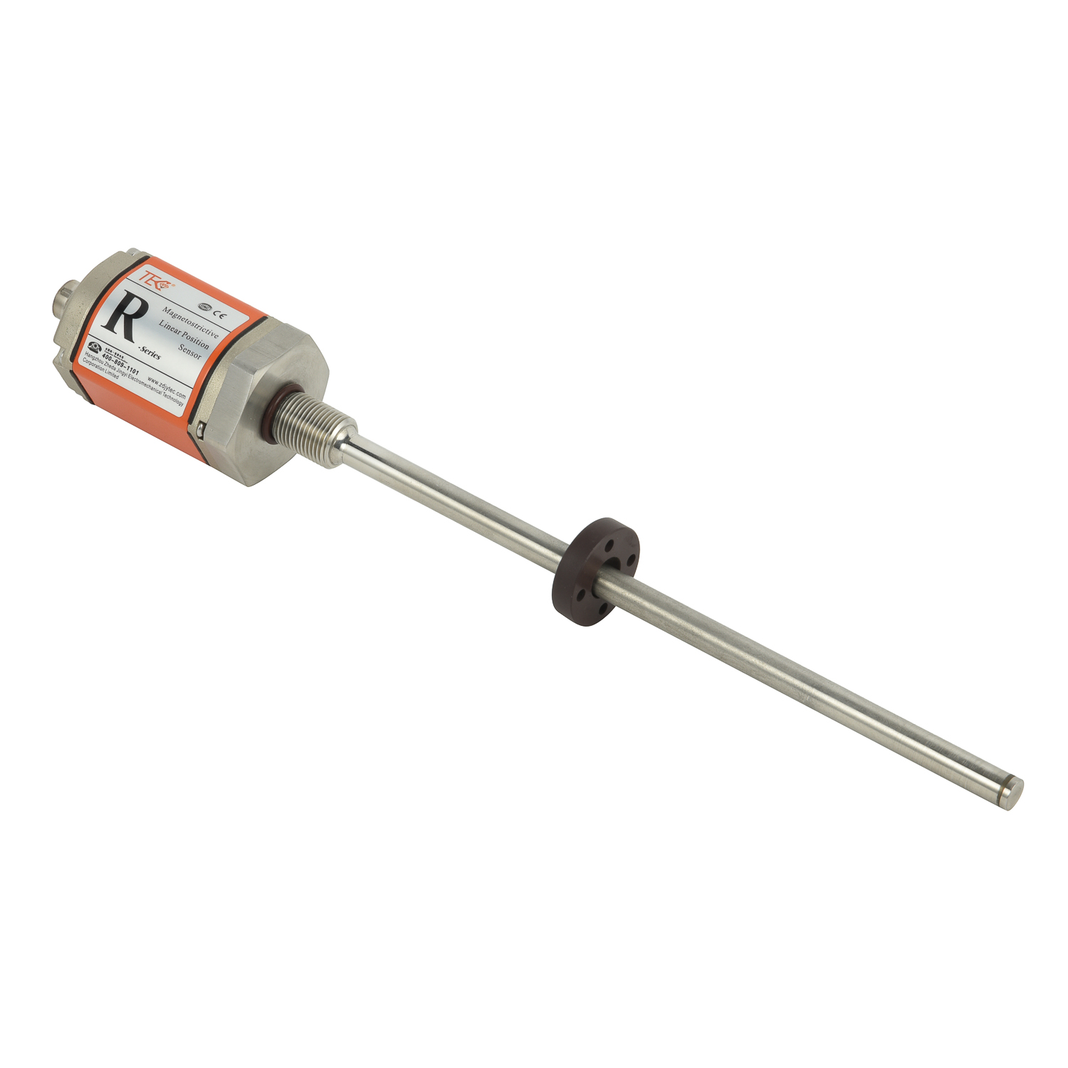
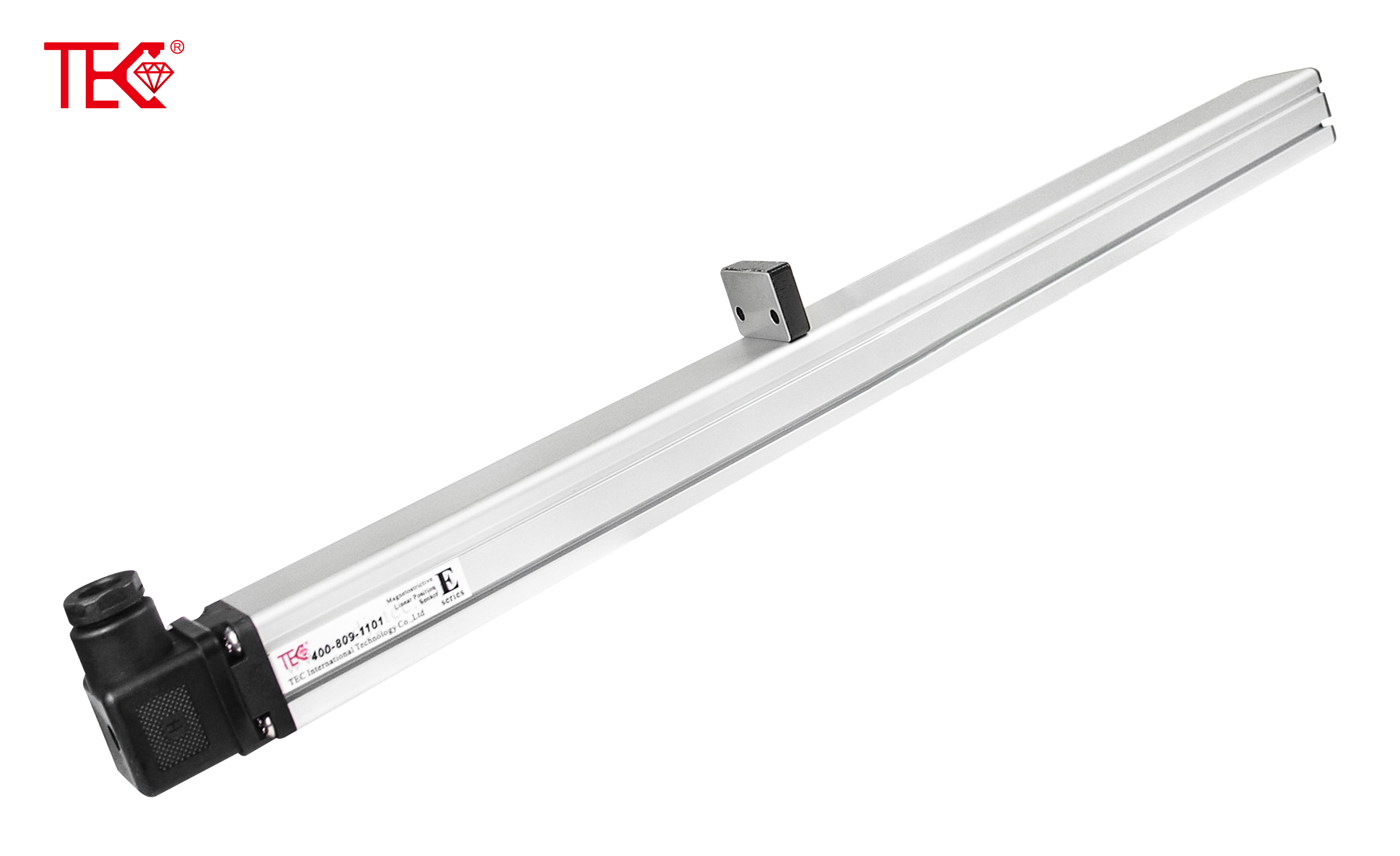 Crane and Trolley Positioning
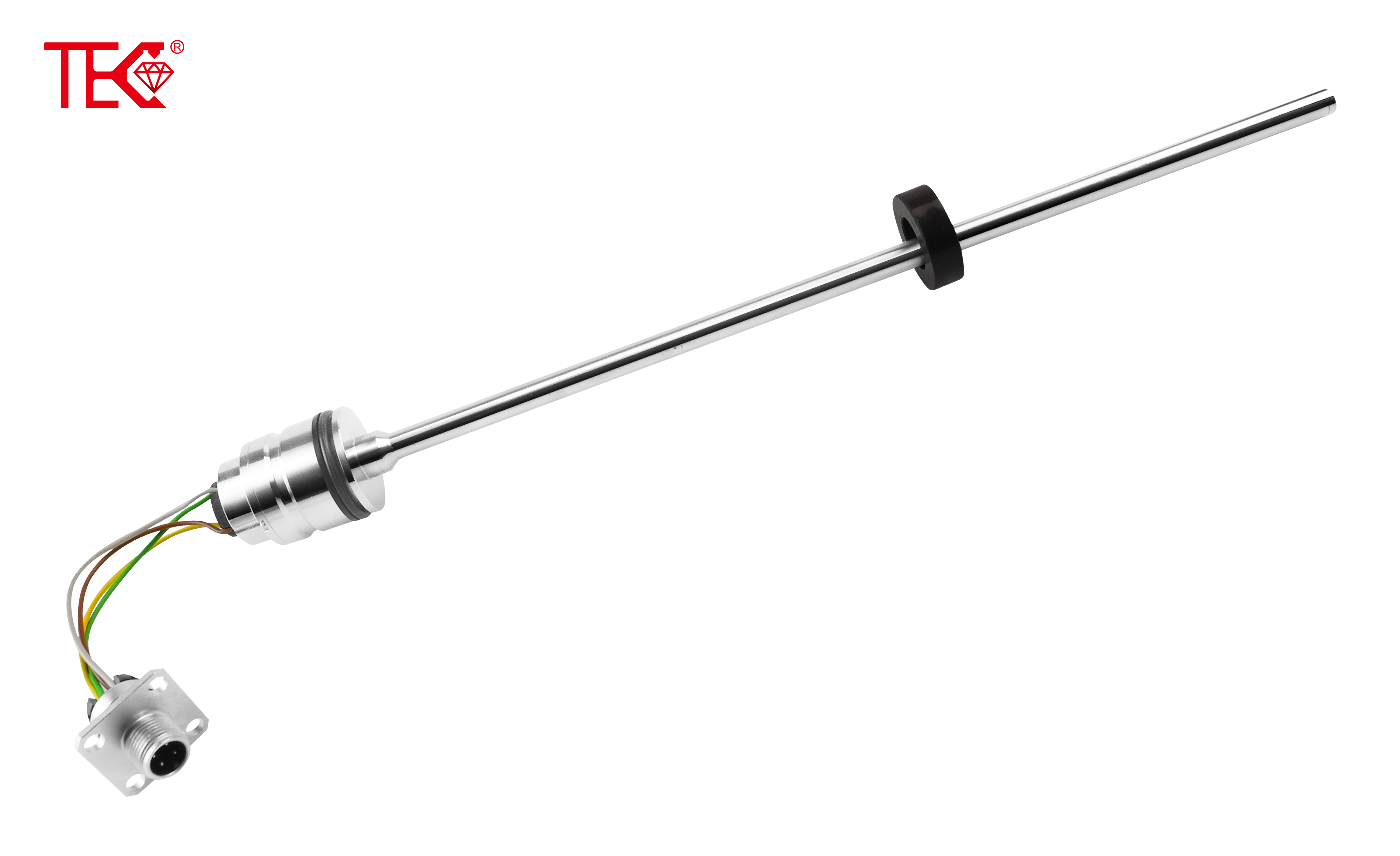 Crane and Trolley Positioning
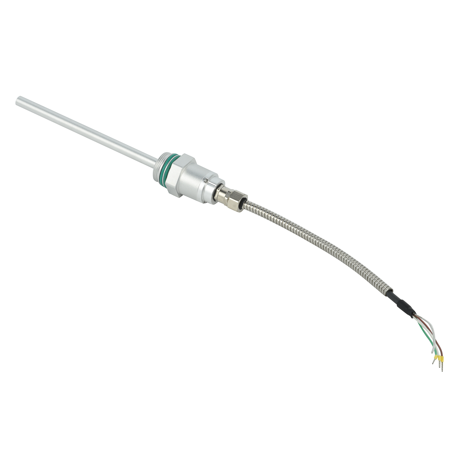 Crane and Trolley Positioning
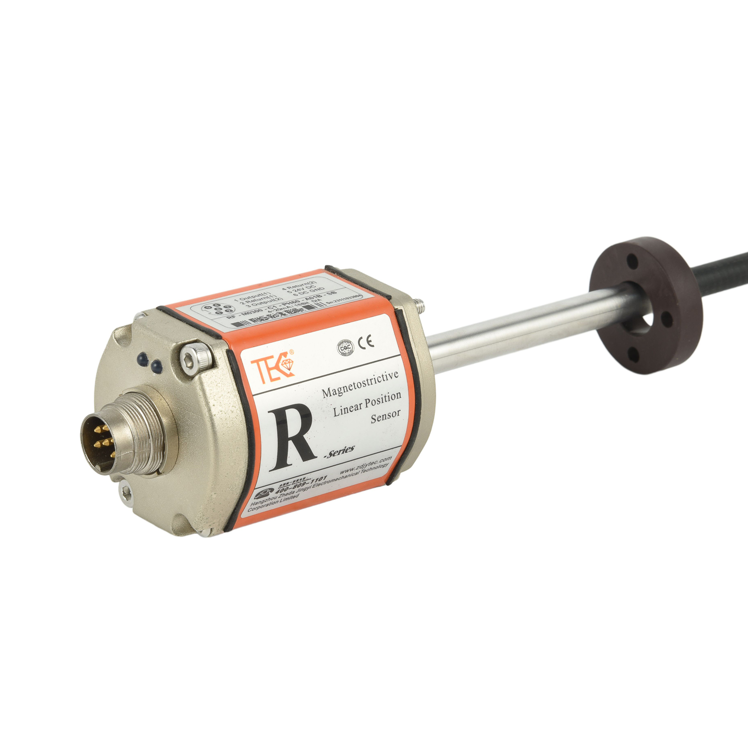 Crane and Trolley Positioning