
Field Application of Long-distance Positioning System
Long-distance positioning systems are essential in field operations where wide coverage, reliability, and real-time data matter. Using GNSS, RTK, LoRa, and cellular networks, these systems track vehicles, workers, and equipment across kilometers with meter-level or centimeter-level accuracy. In construction, they guide heavy machinery, prevent collisions, and monitor earthworks. In mining, they improve fleet dispatch and safety in open pits. Agriculture uses them for autonomous tractors, precise seeding, and yield mapping. Logistics companies deploy them to trace containers, trucks, and drones along remote routes. Emergency rescue teams rely on long-range positioning to locate missing hikers, vessels, or disaster victims when conventional networks fail. Marine and aviation operations use them for navigation, buoy tracking, and asset recovery. Key field challenges include signal blockage, weather, power supply, and data latency. Modern systems solve these with multi-band GNSS, mesh radio, edge computing, and cloud dashboards. The result is higher productivity, lower costs, and safer operations. As industries demand broader coverage and greater autonomy, long-distance positioning will become a core infrastructure for outdoor and remote environments. It also supports smart cities, precision farming, and disaster response by linking field devices to central control rooms in near real time. These deployments reduce downtime, cut fuel waste, and improve decision-making in remote field sites.
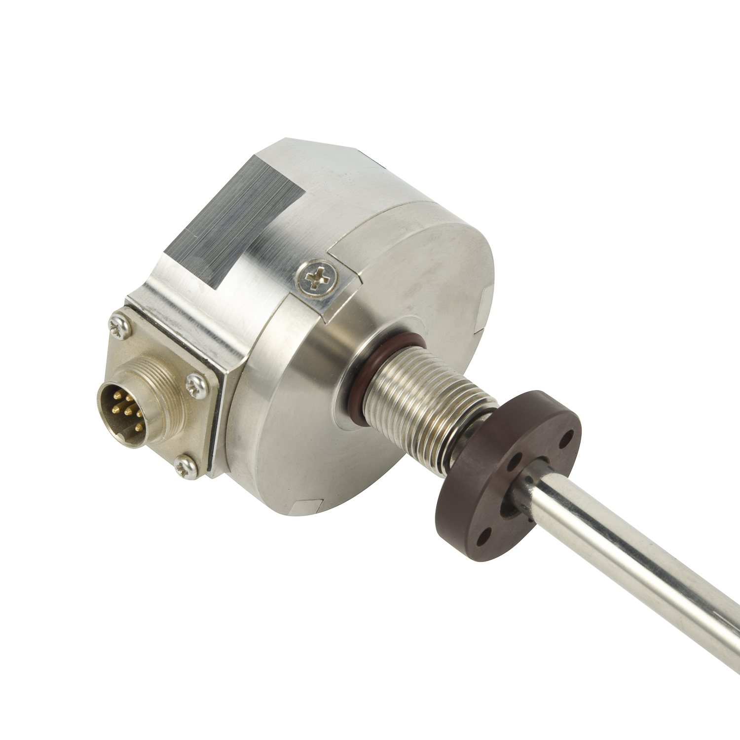 Field Application of Long-dist
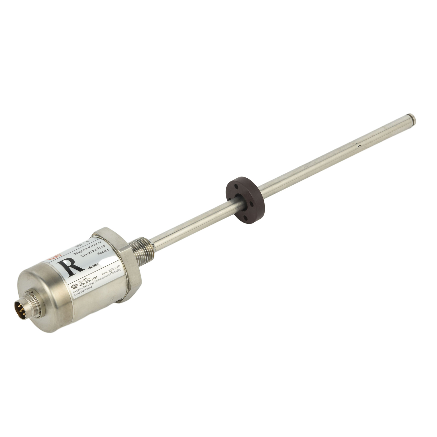 Model and Specification of Lon
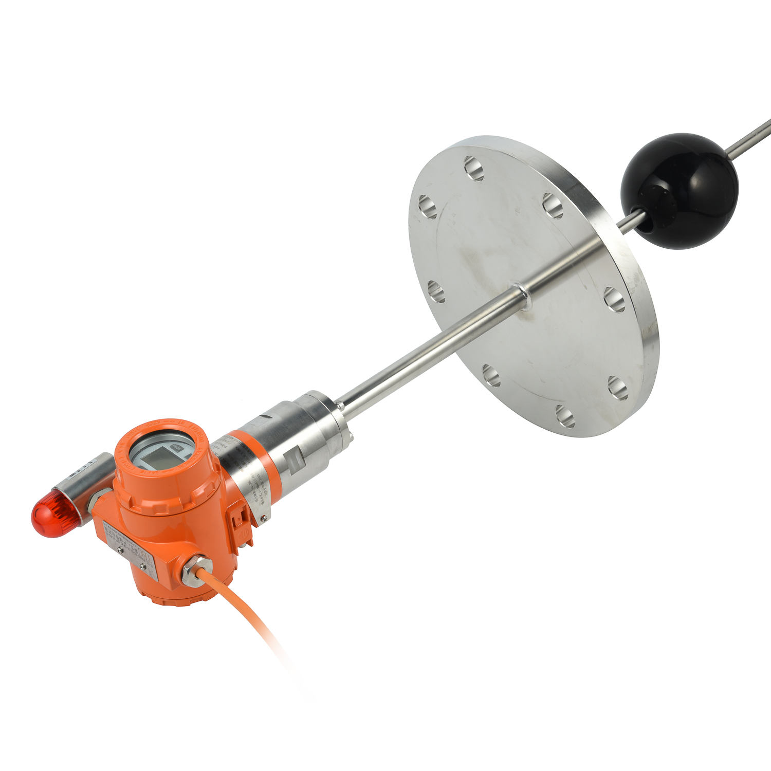 Import Substitute Long-distanc
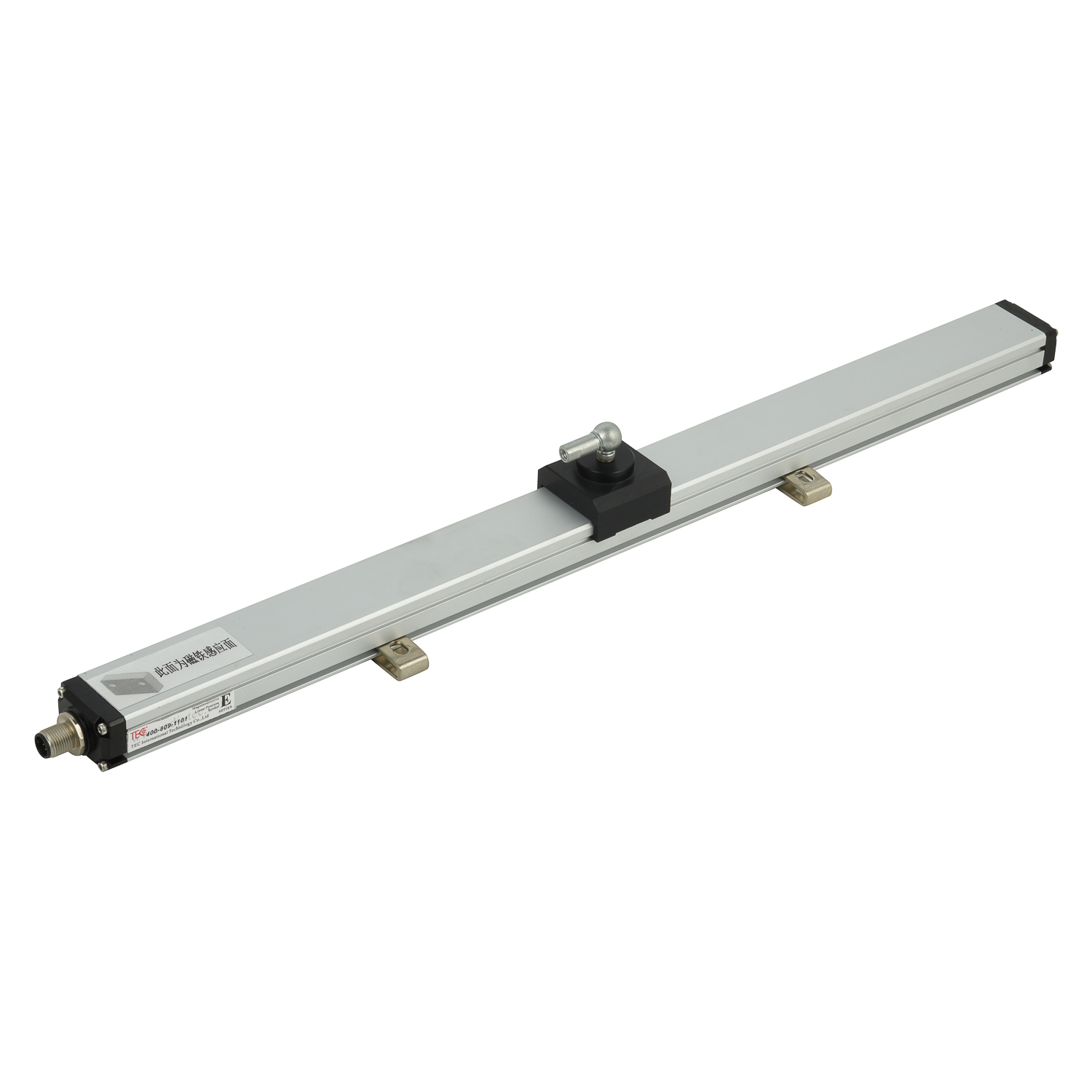 Installation Method of Long-di