
Long-distance Positioning System Selection
Choosing a long-distance positioning system means balancing coverage, accuracy, power, latency, and cost. No single technology fits every deployment. GNSS is the default for outdoor global positioning, offering meter-level accuracy. It suits fleet management and vehicle tracking. But GNSS alone does not transmit location data. It must pair with a backhaul such as cellular, LoRaWAN, or satellite. For regional tracking, LoRaWAN and Sigfox provide low-power, low-bandwidth links. They suit assets that report every few minutes or hours, such as trailers, containers, and farm equipment. Accuracy depends on whether the device includes GNSS or uses network methods. LoRaWAN needs gateway coverage, so it is best for campuses, cities, and industrial corridors. Cellular IoT, including LTE-M and NB-IoT, offers wider public coverage and moderate data rates. It supports frequent updates, OTA firmware, and fallback positioning. NB-IoT excels in underground or indoor settings, while LTE-M supports mobility and voice in some regions. Both depend on carrier coverage and subscription costs. Satellite IoT is ideal for remote oceans, deserts, pipelines, and wildlife. It provides global reach but often has higher latency, lower message frequency, and higher hardware costs. New LEO constellations are improving this trade-off. Choose GNSS for precision, LPWAN for low power, cellular for convenience, and satellite for global reach. Test coverage, battery life, latency. A hybrid design works best.
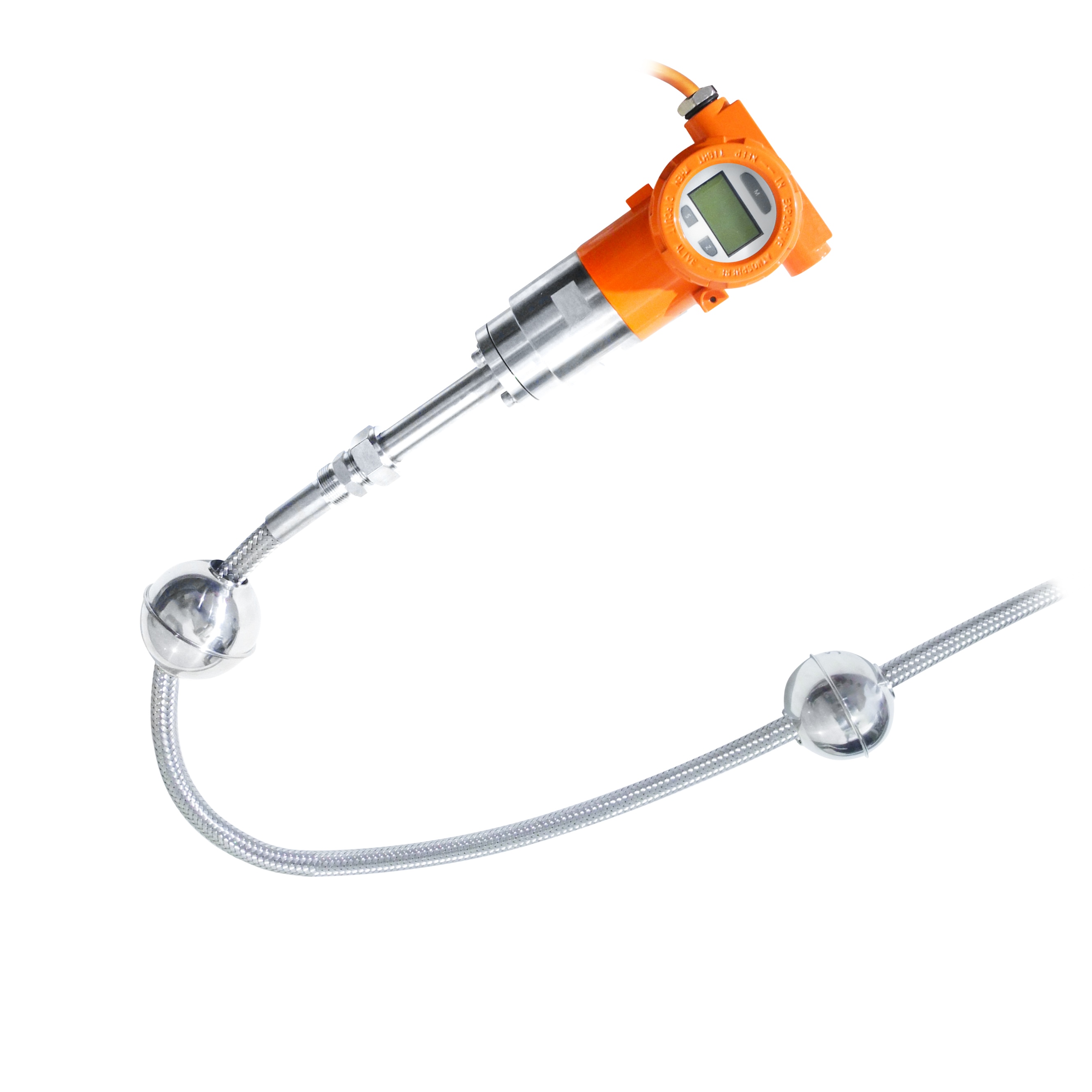
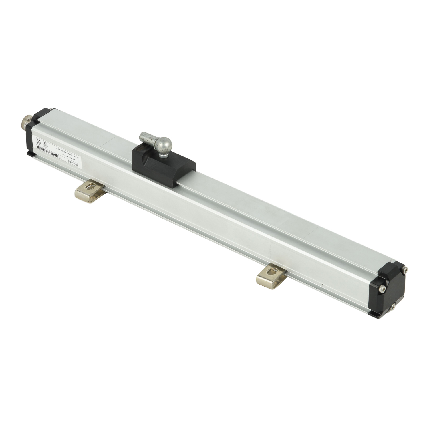 Long-distance Positioning Syst
Long-distance Positioning Syst
Long-distance Positioning Syst
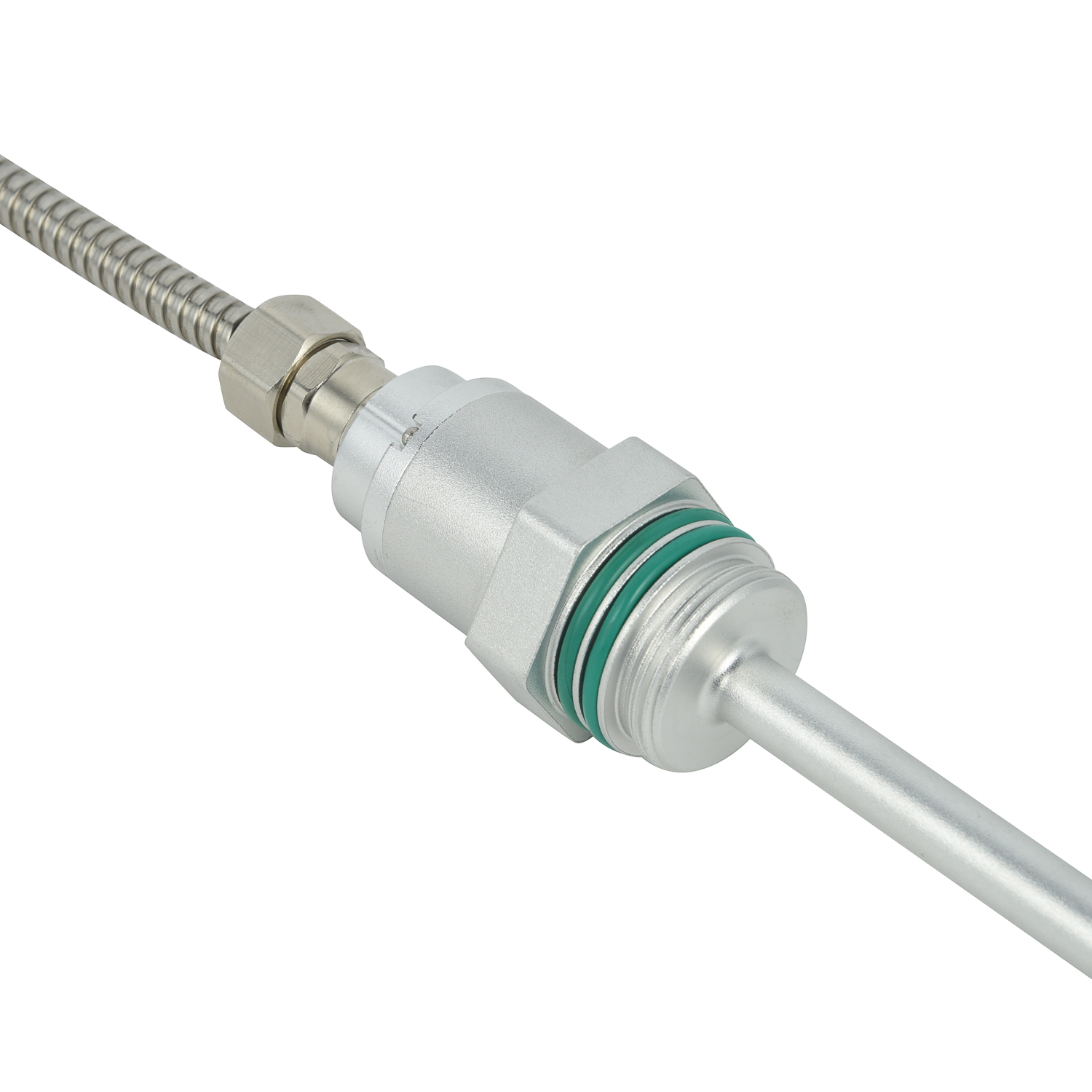 Domestic Long-distance Positio
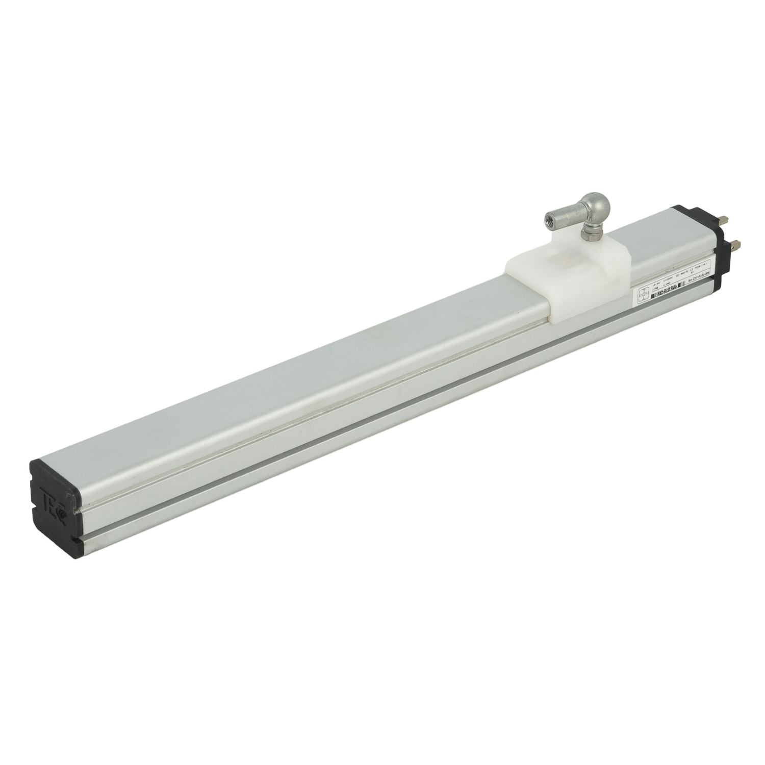 Long-distance Positioning Syst