
Domestic Long-distance Positioning System
Domestic Long-distance Positioning System (DLPS) uses satellites, wireless networks, and cloud computing to locate people, vehicles, and goods across a whole country. It combines GNSS signals from GPS, BeiDou, GLONASS, and Galileo with ground-based augmentation. This improves accuracy from meters to centimeters in open areas. In remote regions, low-power wide-area networks and 5G back up satellite links, so data can still reach control centers.
A typical DLPS has four layers. The space layer provides global signals. The ground layer includes base stations, RTK corrections, and sensor networks. The network layer sends encrypted data through cellular, LoRa, or satellite channels. The application layer offers maps, alerts, geofencing, and route analysis.
Domestic long-distance positioning matters for logistics, emergency response, agriculture, and public transport. Fleet managers can track trucks in real time, reduce fuel use, and avoid delays. Rescue teams can find hikers or workers in isolated areas. Farmers can guide tractors with high precision. Cities can monitor buses and delivery robots.
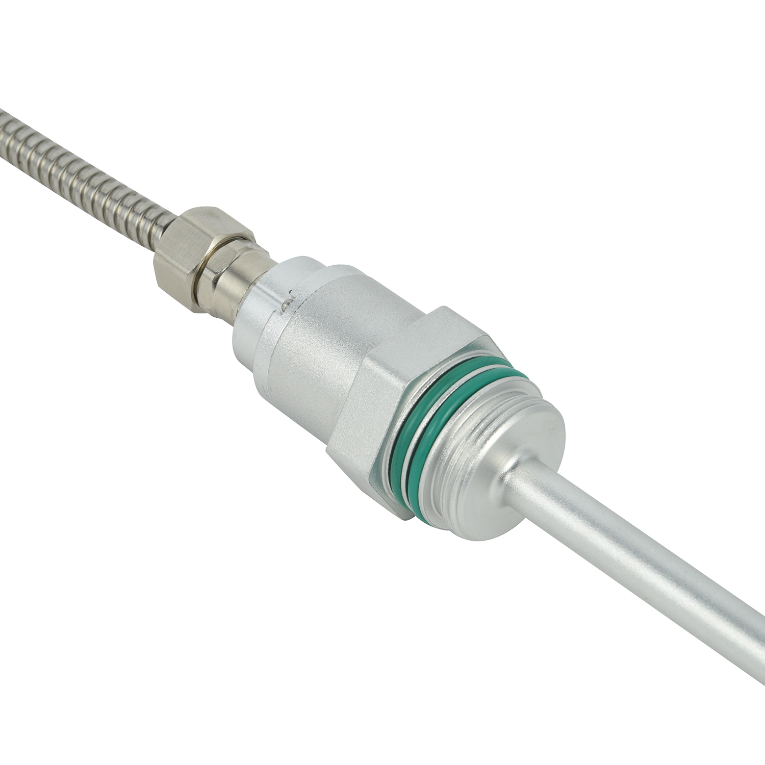
Challenges remain. Signal blockage, weather, and cyber risks can affect performance. Strong encryption, multi-source fusion, and edge computing help build reliable systems. As domestic infrastructure grows, long-distance positioning will become faster, safer, and more affordable. With clear standards and affordable devices, DLPS can connect rural and urban areas, support smart cities, and protect critical assets nationwide.
Domestic Long-distance Positio
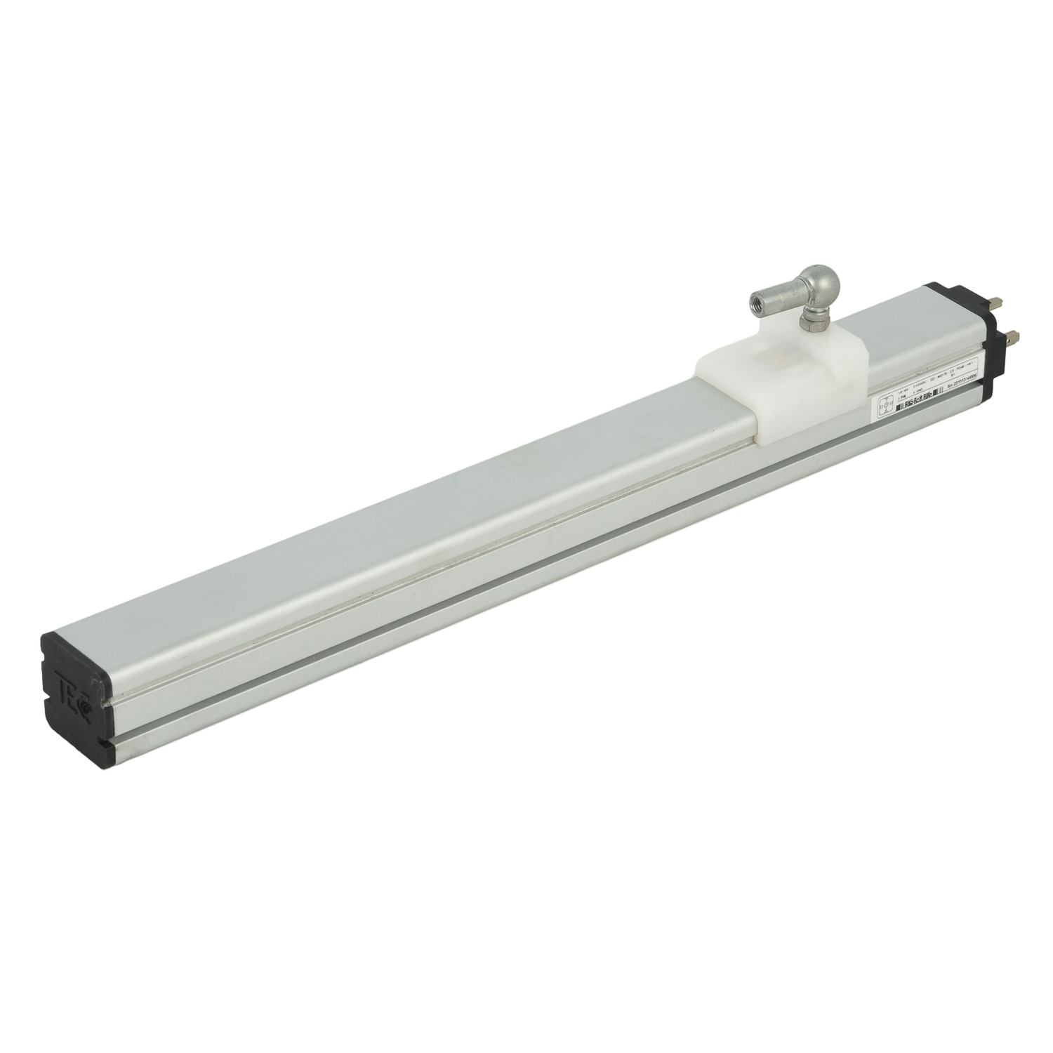 Long-distance Positioning Syst
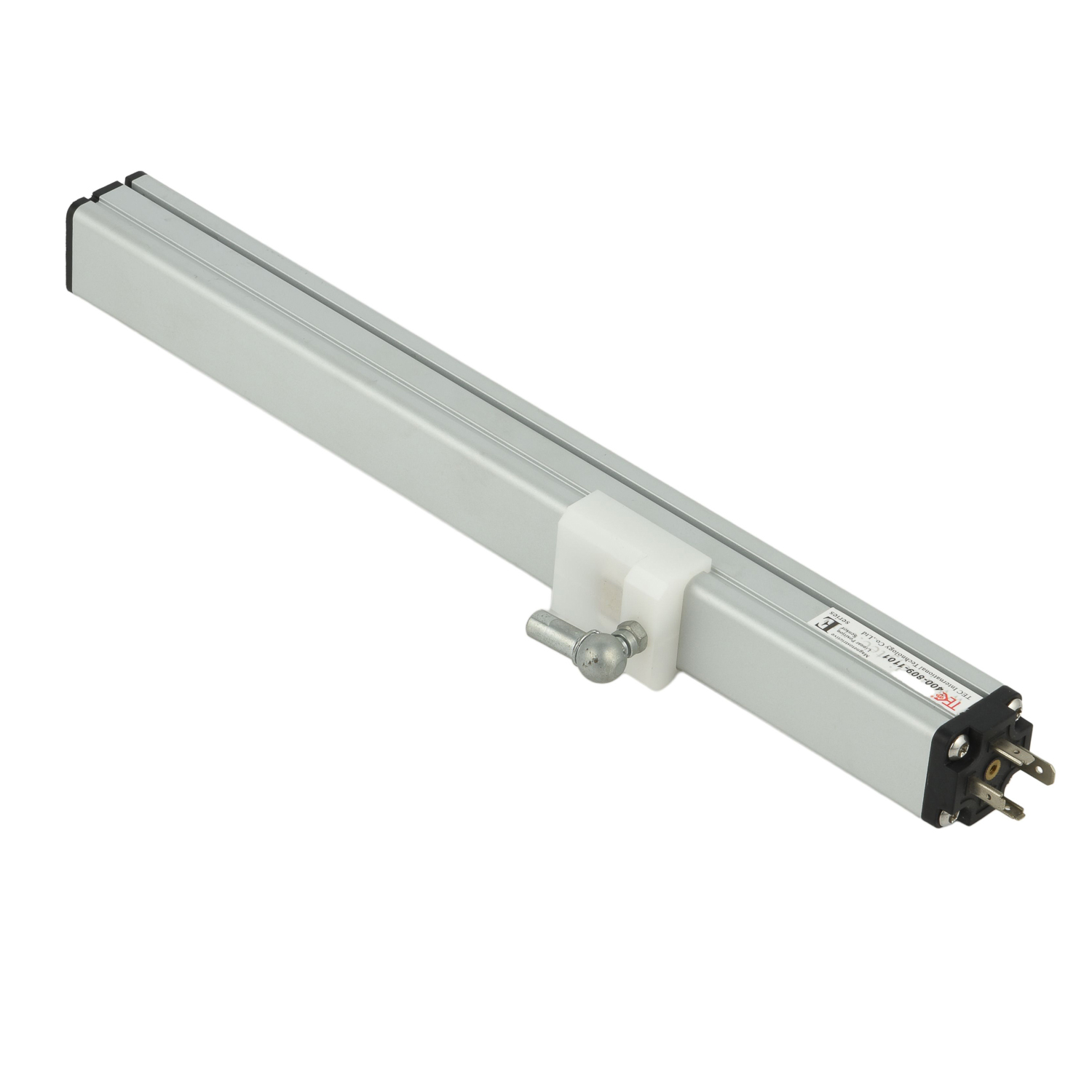 Corrosion-resistant Long-dista
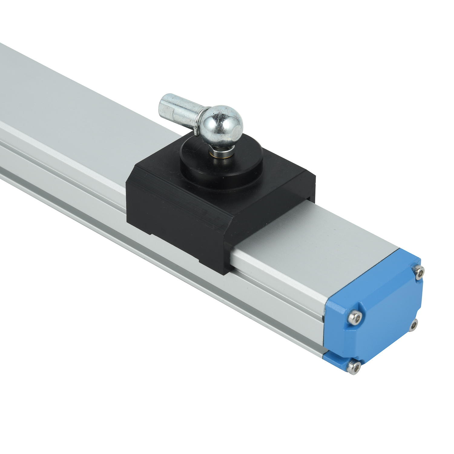 High-pressure Long-distance Po