
Long-distance Positioning System
Today, a long-distance positioning system determines the location of people, vehicles, or assets across wide areas. Unlike short-range indoor tracking, it often relies on signals that travel for kilometers or even globally. Common technologies include GNSS, cellular networks, LPWAN, and low-Earth-orbit satellites. Each offers a different balance of coverage, accuracy, power use, and cost. The system usually has four parts: a receiver, a communication link, a positioning server, and a user interface. The receiver collects signals from satellites, cell towers, or fixed anchors. It measures travel time, signal strength, or angle. The server then uses trilateration, multilateration, or fingerprinting to calculate coordinates. Finally, the result appears on a map or dashboard. Long-distance positioning supports many industries. Logistics companies track trucks, containers, and cargo ships. Farmers monitor tractors and livestock. Environmental teams follow wild animals. Emergency services locate hikers, sailors, and rescue teams in remote regions. In smart cities, the same principles help manage public transport and delivery fleets. Accuracy varies. Open-sky GNSS can reach a few meters. In cities or forests, signals reflect, weaken, or disappear, so hybrid methods are needed. LPWAN can send small location updates over long ranges with low power, but it may offer only coarse accuracy. Satellite IoT extends coverage to oceans and deserts. Key challenges include power, coverage, latency, and security.
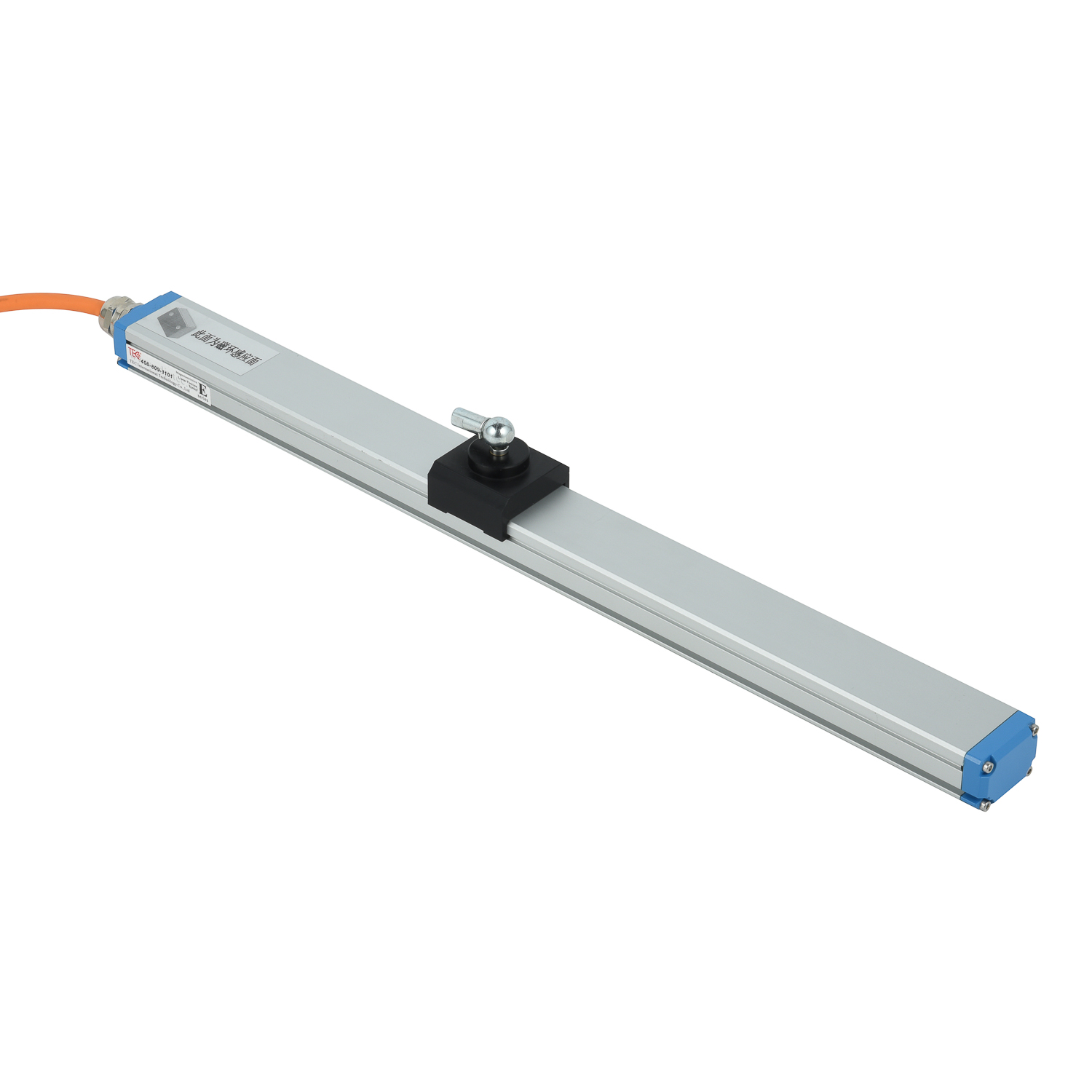 Long-distance Positioning Syst
 Graybus Cable Fault
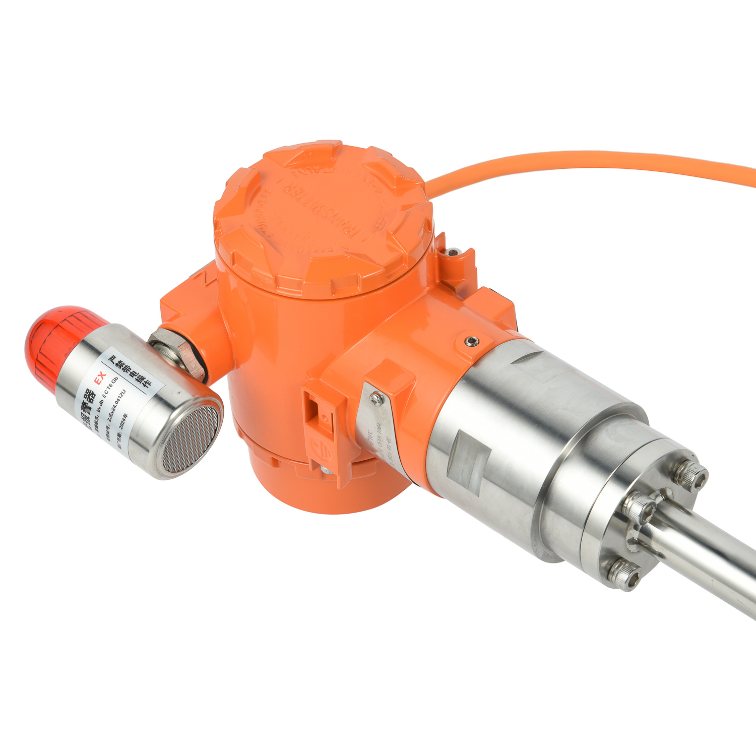 Field Application of Graybus C
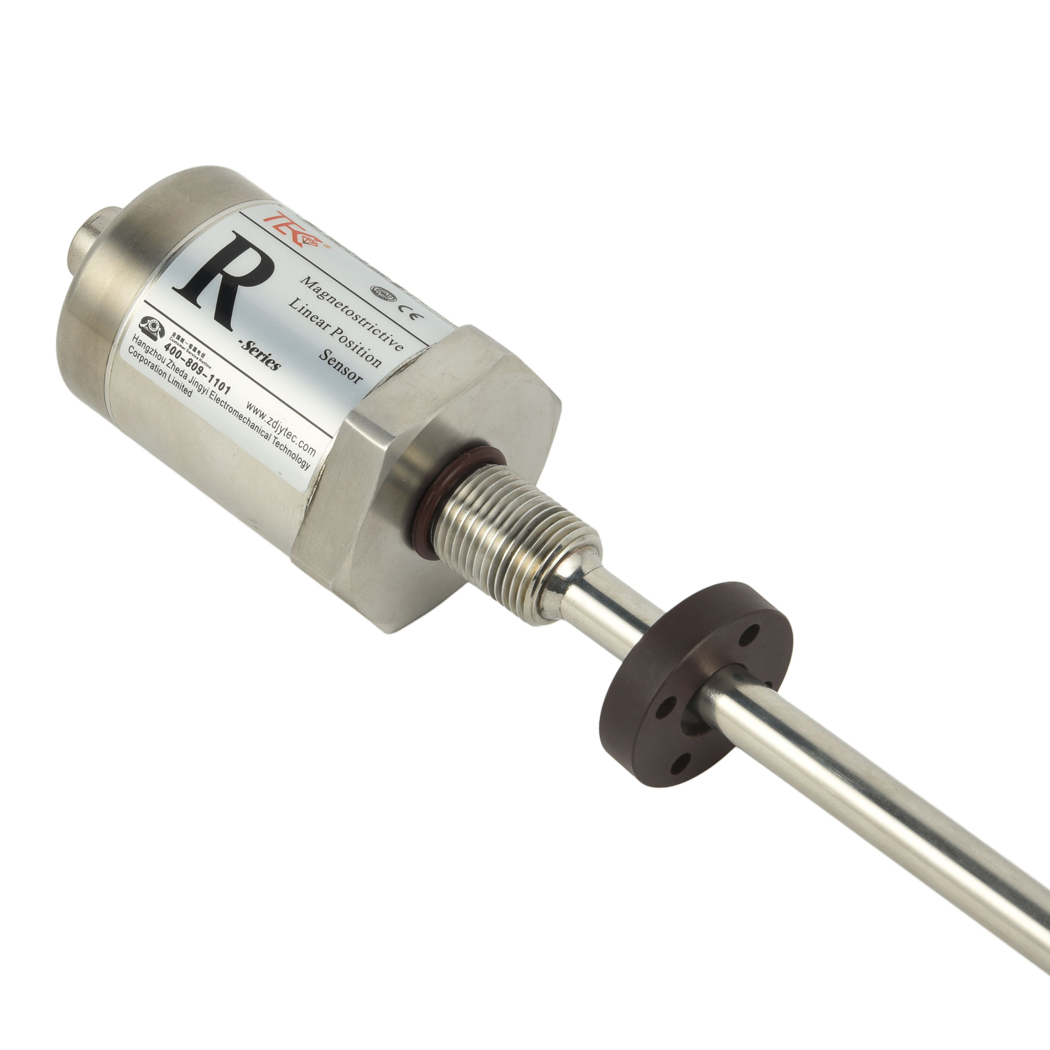 Model and Specification of Gra