
Long-distance Positioning System for Cement Industry
In cement plants, quarries, and clinker yards, accurate location data is essential for safety, efficiency, and inventory control. A long-distance positioning system combines RTK GPS, GNSS, wireless communication, and rugged sensors to track vehicles, stockpiles, cranes, and personnel across large industrial sites. Unlike short-range indoor systems, it covers open yards, conveyor routes, loading zones, and remote quarry areas in real time.
Operators use the system to monitor haul trucks, loaders, and rail or ship loading equipment. Real-time dashboards show equipment location, idle time, and route compliance, helping dispatchers reduce waiting time and fuel use. Geofencing alerts managers when vehicles enter restricted zones or when personnel move near heavy machinery. In dusty and high-vibration environments, industrial-grade hardware maintains stable connections.
The system also supports material tracking. By linking position data with weighbridge records and production schedules, cement producers can improve stockpile management, reconcile inventory, and optimize dispatch. Maintenance teams can analyze movement patterns to detect bottlenecks and plan safer traffic flows. With cloud reporting and API integration, the platform connects with ERP and fleet management tools.
For cement industry managers, long-distance positioning is not just a map. It is a practical tool for reducing risk, improving logistics, and increasing operational visibility across expansive production and distribution sites.
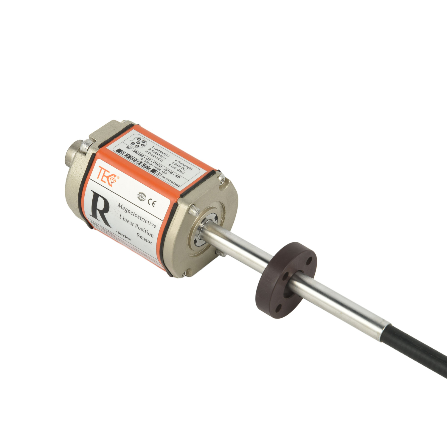 Long-distance Positioning Syst
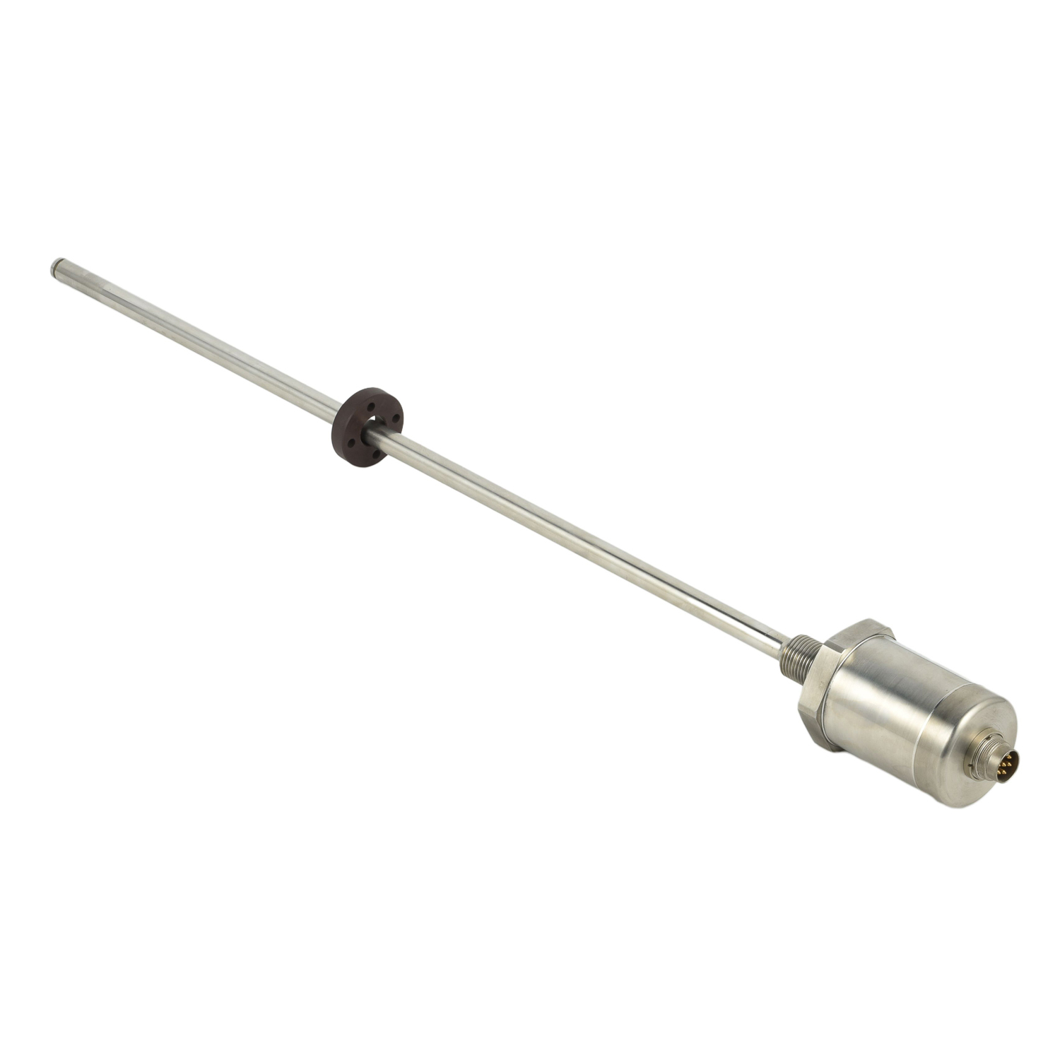 Long-distance Positioning Syst
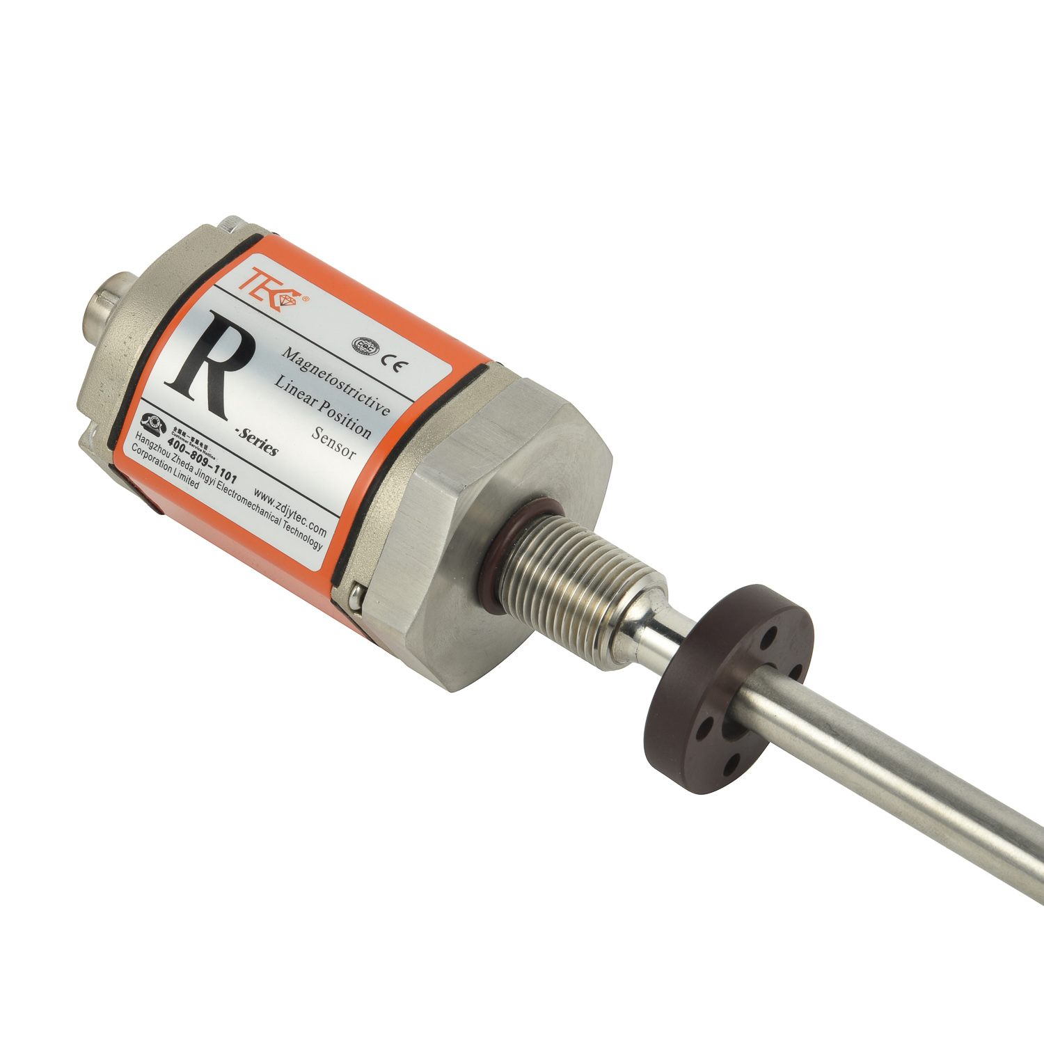 Long-distance Positioning Syst
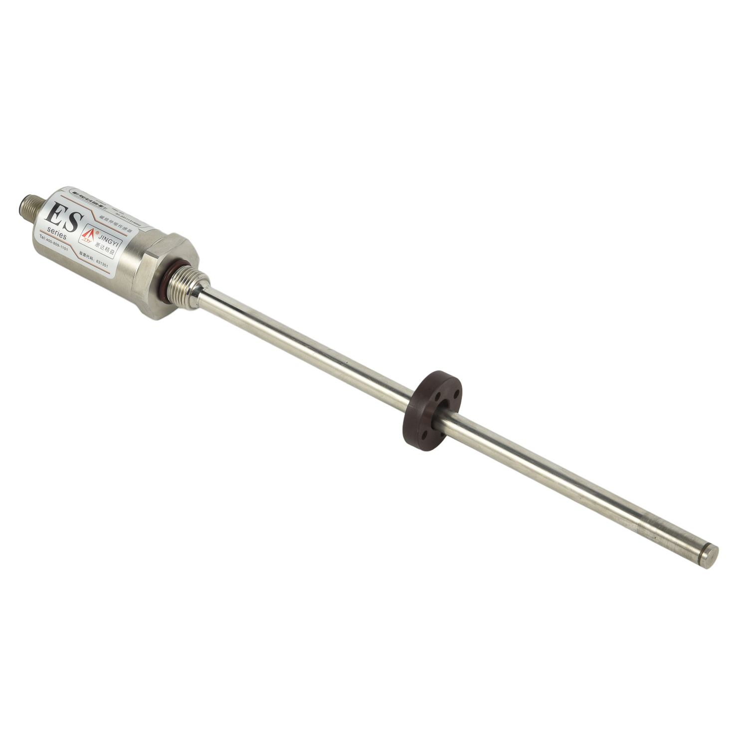 Grain and Oil Storage Tank Cor